")
")
LABORATORIES AND FACILITIES
Training Courses on Safety for Equivalent Workers
Training Courses on Safety for Equivalent Workers
Safety Training for all students of the Department of Earth, Environmental, and Resource Sciences to undertake laboratory activities, geological field campaigns, educational exercises, research, and internships.
(Note: For the activation of internal internships, please pay attention to the additional provisions available at the following link.)
All university students (undergraduates, doctoral candidates, specialists, interns, scholarship holders, research fellows, and equivalent individuals) who attend educational, research, or service laboratories and are exposed to risks identified in the risk assessment document are considered equivalent to workers. As such, they are subject to preventive and protective measures to safeguard their health and safety.
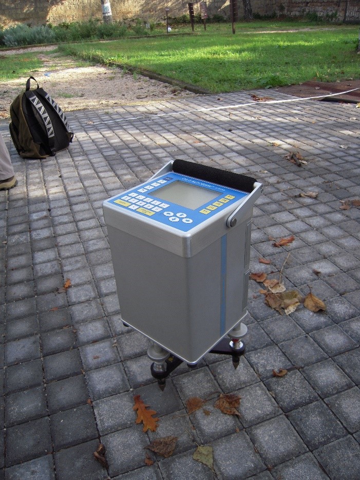
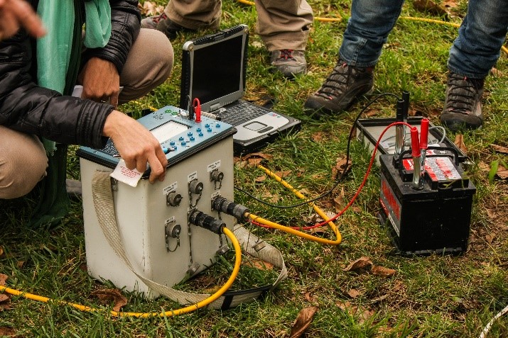
It is clarified that laboratories are considered as locations or environments where educational, research, or service activities are carried out, involving the use of machinery, equipment, plants, prototypes, or other technical tools, as well as chemical, physical, or biological agents. Additionally, locations or environments outside the constructed areas of the premises—such as archaeological, geological, or marine field campaigns—are also regarded as laboratories.
Before commencing activities involving exposure to risks, every university student (so-called "equivalent worker") is required to:
- Undergo a health surveillance examination.
- Complete the online course "Basic Training on Workplace Health and Safety" (4 hours).
- Attend a specific risk training course.
The Health Surveillance Examination will be requested by the tutor/professor/supervisor overseeing the laboratory activity and at the time of assigning the experimental thesis work. Notifications regarding the health surveillance examination schedule are published on the Course of Study's dedicated webpage.
The online course "Basic Training on Workplace Health and Safety" requires a 4-hour commitment (as specified in letter a) of paragraph 1 of Article 37 of Legislative Decree No. 81/08 and the State-Regions Agreement of 21/12/2011). A participation certificate is issued upon passing the final verification test.
The course is available at the following link on the Federica.eu platform:
https://www.federica.eu/partners/formazione-unina/
Access requires the use of active UNINA credentials (name.surname@studenti.unina.it).
To access the course, it is necessary to enter the access code of your department, which can be found by clicking here: https://www.unina.it/documents/11958/21142433/FORM_elenco.codici.accesso.pdf
User support and guidelines for proper course participation can be found at the following link:
https://www.unina.it/documents/11958/21142433/FORM_indicazioni.corsi.pdf