Virtual MODEling Laboratory
V_ModeL- Virtual MODEling Laboratory- through an interdisciplinary approach performs logic modelling, 3D digitization, post processing, data analysis and visualization activities, related to geological contexts, submerged areas, architecture, cultural heritage, archaeological sites, artifacts and samples of all shapes and sizes. V_ModeL through a combined use of the most innovative technologies for three-dimensional surveying and dedicated software develops procedures for digitization, modeling, management and representation of spatial data, for the definition of virtual ecosystems to support the study of real environments through interoperable virtual artifacts.
The laboratory is active in the following research projects:
- Hattusa Project - Turkey. Archaeological Cooperation Mission in Hattusa. DAI (Deutsches Archäologisches Institut) of Istanbul - Turkish Ministry of Culture and Tourism. Project funded by the Ministry of Foreign Affairs and International Cooperation.
- Marzamemi Maritime Heritage Project. Underwater Archaeological Mission - Wreck of the Byzantine Basilica and the tonnare of South-Western Sicily - Marzamemi (Sr). In collaboration with the Soprintendenza del Mare della Regione Siciliana, Stanford University (USA – Palo Alto, California), Brock University (Canada - St. Catharines, Ontario).
- Design and development of a technological infrastructure for the management and visualization of geospatial data aimed at monitoring and studying the geostructural conditions of the cavities of the archaeological site of Cuma. In collaboration with the Direzione Generale Sicurezza del Patrimonio Culturale, Ufficio del Soprintendente speciale per le aree colpite dal sisma il 24 agosto 2016, Parco Archeologico dei Campi Flegrei.
- Project for the study and monitoring of the hydrogeological system of the island of Vivara - Three-dimensional survey and development of GIS platform. In collaboration with the Riserva Naturale Statale “Isola di Vivara”.
Active collaborations with other institutions:
- University of Cambridge, History of Art Department
- University of Minho (Braga, Portugal), Lab2PT - Landscape, Heritage and Territory Laboratory - School of Architecture, Art and Design - Institute of Social Sciences - History and Geography Departments
- University of Tarragona Rovira i Virgili, Department of History and Art History
- University of Barcelona, Departments of Philosophy and of Geography and History, Institut de Recerca en Cultures Medievals (IRCVM)
- University of Crete, School of Philosophy, Department of History and Archaeology
- CNR ISPC - Institute of Heritage Science
- Sybaris Archaeological Park
- Università di Padova, ICEA - Civil, Environmental and Architectural Engineering
- University of Pisa, Department of Energy, Systems, Land and Construction Engineering
- University of Rome Sapienza, Department of Science of Antiquities- Laboratory of Technological and Functional Analyses of Prehistoric Artefacts
- Archaeological Museum of the City of Mondragone, Virtual Museum
- CESN - European Centre for Norman Studies in Ariano Irpino
- Museum of Procida 'Sebastiano Tusa
- Biogeo, Museum of Earth and Life History, Biogem (Biology and Molecular Genetics)
Services:
- Three-dimensional digitization
- GPS topographic surveys
- Point cloud processing
- Mesh model generation
- Reverse engineering
- Geometric data representation
- GIS
- Parametric modeling
- Exhibit design
- Data Analysis
- Data visualization
Technologies:
Time of flight laser scanner Riegl VZ400
Total station Leica TS16
GPS
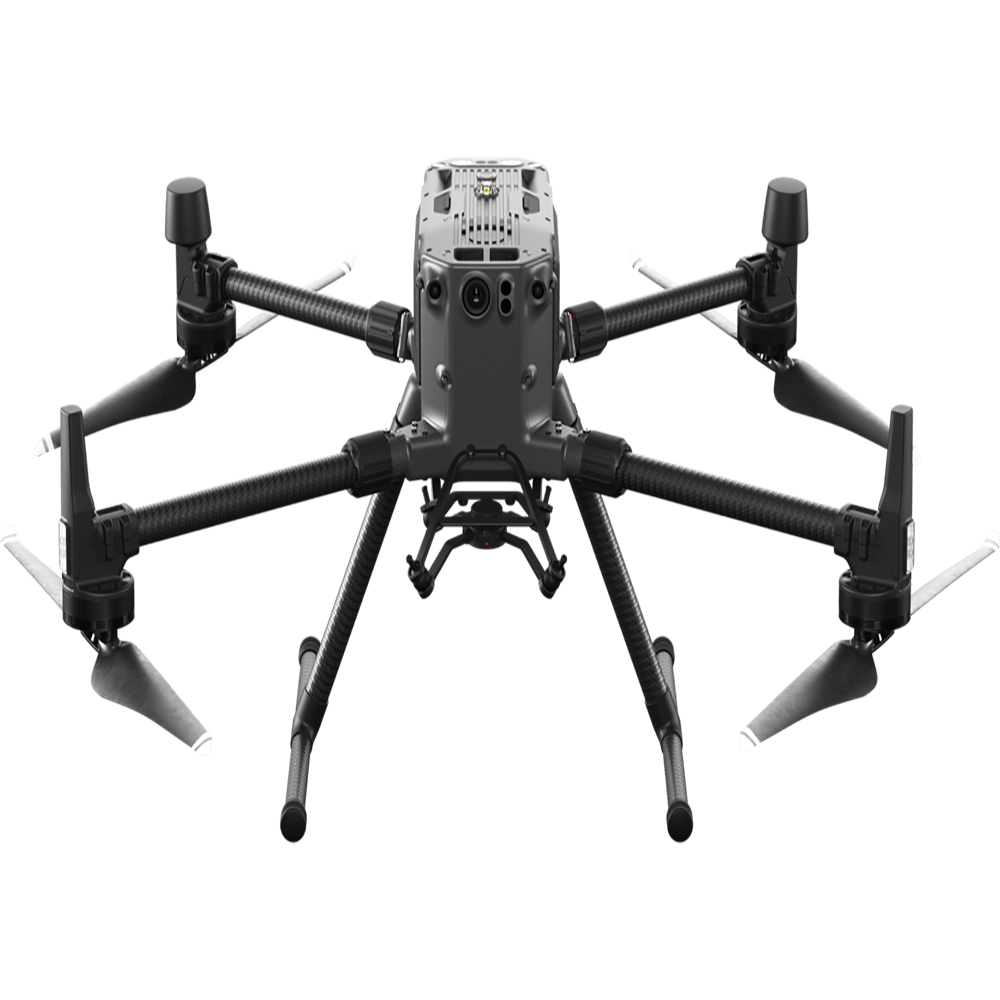
Drone equipped with LiDAR and thermal imaging camera DJI Matrice 300 RTK
Drone Autel Evo Pro RTK
Drone DJI mini 3 pro
Nikon D750
GoPro Hero 10 Black Edition
Prototype stereo-photogrammetric system for underwater surveys
Structured light scanner Artec Eva
Black Box
