The Laboratory of Applied Geophysics is made of several instrumental systems, from the INNOVA Laboratory of Archaeo-Geophysics directed by Prof. Maurizio Fedi and from C.U.G.RI. These systems allow performing effective and reliable geophysical surveys even in logistically difficult areas, by using the most appropriate instruments based on the aim of the study and on the site logistics.
The applications range from geo-archaeological and cultural heritage studies to geological, engineer, environmental, geothermal and volcanic research. The availability of several instrumental systems makes it possible to carry out an integrated data analysis and interpretation, so to obtain a more reliable model of the underground features.
Geophysical surveys can be successfully employed prior the construction of infrastructures and/or in areas of potential archaeological interest and high environmental risk. Such techniques are high resolution and may be also used to determine the state of degradation and alteration of frescoes, stuccos, plaster, columns.
A geophysical study is carried out in three phases:
- inspection of the study area: choice of the most suitable geophysical techniques of investigation and definition of time and operating procedures necessary for a geophysical characterization of the area;
- data measurement: data preliminary processing in a mobile laboratory and data processing/analysis at the Laboratory of Applied Geophysics by specific software;
- data interpretation: qualitative and/or quantitative study of geophysical data/maps, in order to infer reliable models of the underground.
The results are given in form of geophysical geo-referenced maps, interpretative 2D-3D models of the underground and technical reports.
Instrumental Systems at the Laboratory
- Microgravimetric System CG5 SCINTREX (Photo 1) (INNOVA);
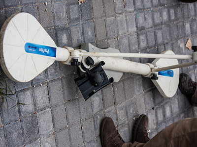
- Systems EM-FDEM EM31 GEONICS (Photo 2) and GEORADAR SIR 3000 GSSI with different frequency antennas (INNOVA and C.U.G.RI.);
- Geoelectric System SYSCAL PRO IRIS 72 channels (Photo 3) (INNOVA);
- Magnetic Systems (Gradiometric) - Overhauser and Caesium - for earth surveys GEM SYSTEM (INNOVA);
- Seismic System GEODE GEOMETRICS with 24 channels (INNOVA);
- Differential GPS System ST502 LEYCA (INNOVA);
- Electromagnetic System VLF GEONICS (C.U.G.RI.);
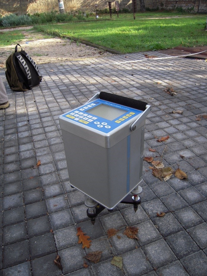 Photo 1 Photo 1 |
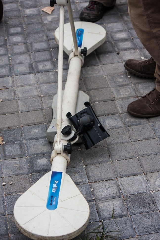 Photo 2 Photo 2 |
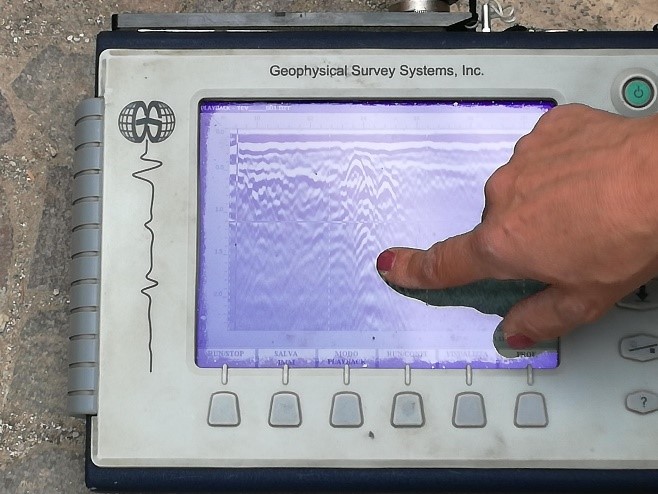 Photo 3 Photo 3 |
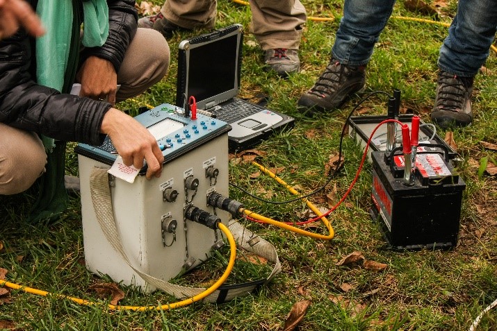 Photo 4 Photo 4 |
||
